*MDC's MRAP contract ends with Sandy Creek 9/15/23. It is no longer accessible for hiking or any public access following that date.
Educational or nature groups can contact secretary@bridlespur.com to arrange private tours if interested.
WHITESIDE, Mo.—It’s something you might not expect to come upon while hiking to a serene Missouri creek. But there it is—a 50-foot domed cliff of stone. Looming over the creek it paints a shimmering reflection on the pool below. Through the rock stretches a tunnel, 12 feet wide and 16 feet tall, carved clean through by nothing more than the force of water. Light from the tunnel’s opposite opening shines like a beacon, an invitation for further exploration.
You’ve just discovered the Sandy Creek Natural Tunnel.
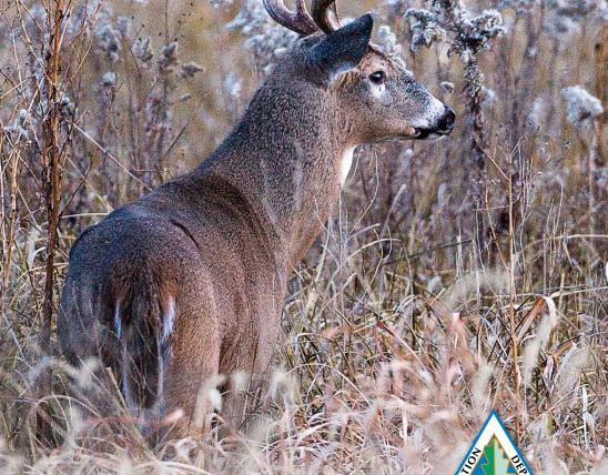
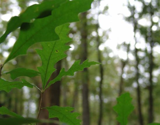
This marvel is one of Missouri’s Natural Areas, locations designated statewide because of their outstanding natural qualities or features. The area is located just west of the town of Whiteside in Lincoln County and is enrolled in the Missouri Department of Conservation’s (MDC) Missouri Outdoor Recreational Access Program (MRAP). MRAP is a cooperative effort between MDC and willing landowners to offer private land for public access to hunt, fish or view wildlife.
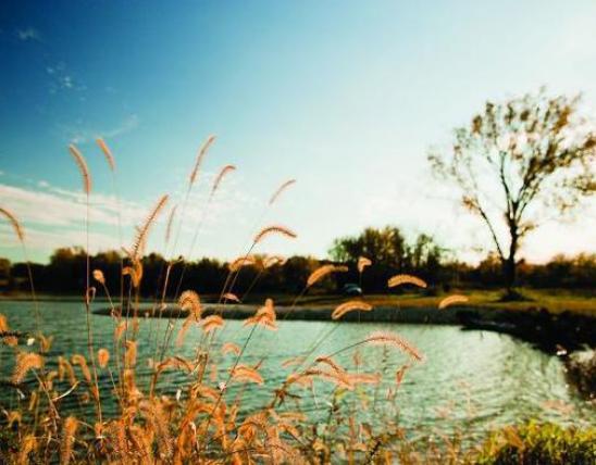
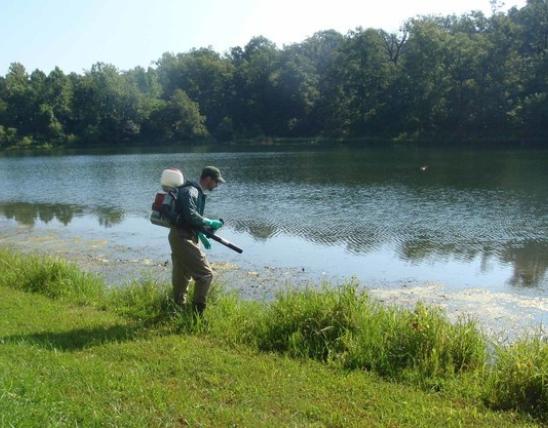
The Sandy Creek Natural Tunnel property is enrolled in the MRAP Program as a wildlife and nature viewing site. Fishing and hunting are not permitted. The area is open daily from an hour before sunrise until an hour past sunset. Sandy Creek, which skirts the area’s eastern boundary, flows into the North Fork of the Cuivre River. It is clear with a bottom of sand and gravel.
Upon arriving, visitors can park on a small grassy patch at the entrance in front of the wooden MRAP bulletin board. Guests are encouraged to fill out a use card to help MDC track visitation to the area.
From there a dirt road path leads hikers eastward. Within a quarter mile visitors will come to the edge of an open field on their right. At this point hikers have two options, allowing them to explore the tunnel from different perspectives by taking either or both. Paths are not marked however, so visitors are encouraged to download the area map for reference at https://goo.gl/Y8wxRL.
Option one is leaving the dirt road and following the path to the right, or south, along the edge of the field. This takes hikers on a 20 minute walk that meanders through open field and patches of woods. Hikers should note that the trip involves crossing Sandy Creek and will likely get their feet wet, so they should plan accordingly. But the destination is worth the walk—the bank of the creek and a commanding view of the natural tunnel from across the water. The impressive feature was sculpted from Burlington limestone when a stream branch took an underground shortcut to Sandy Creek. It looks its best in morning light. To return, hikers should double back the way they came.
The other option is to continue straight on the dirt road, heading east. This will bring hikers to the top of the natural tunnel and the open glade that covers it. Signs mark the start and end of the tunnel. The natural tunnel itself is not very apparent from this vantage point. However there is the opportunity for scenic views of the creek from this elevation, and a chance to explore the glade that forms the “roof” of the tunnel. A small path just before the first sign leads down to the tunnel itself, and brings visitors to the its opening opposite the one viewed from the creek described above. Again, visitors should back track to return to their vehicles.
To reach the Sandy Creek Natural Tunnel, follow MO Z west from Whiteside approximately six miles. Turn right onto MO HH, and then go north 0.1 miles. Turn right into private drive and park near the bulletin board. Visitors should keep in mind they are on private property and pay appropriate respect, which includes not blocking the drive or littering.
To find more areas to explore through MDC’s MRAP Program, go to https://goo.gl/L7XWRn.