


Points of Interest
- Hike the Ozark Trail across a wild landscape of Ozark valleys and bluffs.
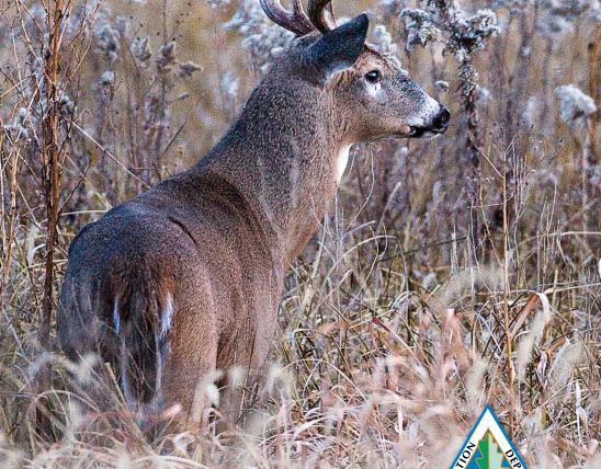
- Enjoy a wide variety of Ozark songbirds, especially in the spring.
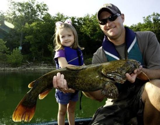
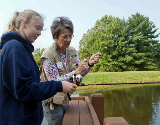
- Try your hand at fishing for small mouth bass along the Huzzah or Courtois creeks.
Natural History
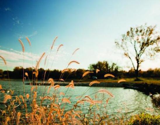
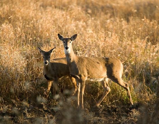
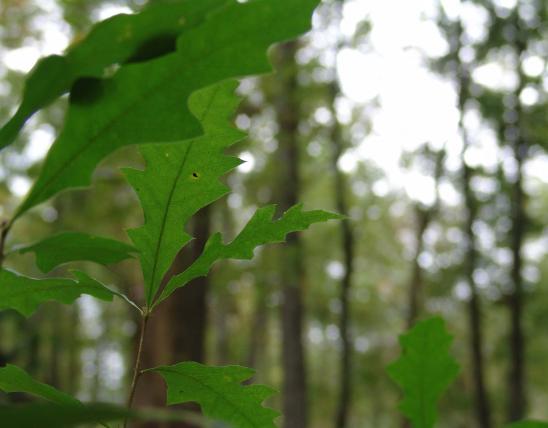
This natural area features a variety of Ozark natural communities from streams and springs to cliffs and dry woodlands. Such a variety of habitats supports over 350 native plant species, 75 breeding bird species and over 50 native fish species. Although this area was impacted by the indiscriminate timber cutting that occurred over 140 years ago to fuel the Scotia Iron Works, the forests and woodlands have recovered and today 120+ year old towering oak trees abound. This area is composed of weathered calcareous bedrock and includes many karst features including caves (all are closed to public access to protect cave species), cliffs, springs and spring fed creeks.
From Leasburg travel south on Highway H for approximately 5 miles. Cross over the Meramec River and enter Huzzah Conservation Area. The natural area is most easily accessed from the Ozark Trail. Consult the Huzzah Conservation Area map to navigate to the parking lot with the privy and campground where the Ozark Trail can be accessed that leads into the natural area. A map and compass is recommended to explore the area. Hunting and fishing are permitted.

MO
United States