


Points of Interest:
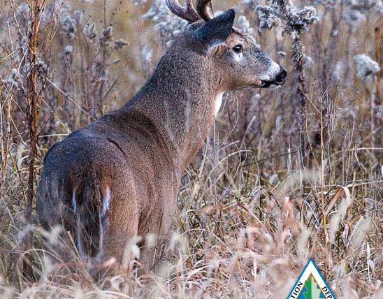
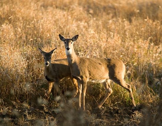
- See plants and animals characteristic of the Great Plains of central Nebraska and Kansas without having to leave Missouri.
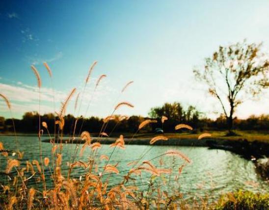
- Enjoy commanding views of the Missouri River floodplain and peer into the state of Nebraska to the west.
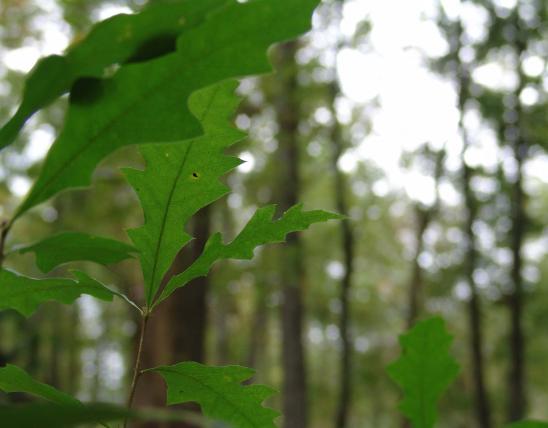
- At the margins of the prairie openings see ancient bur oaks, some of which predate the signing of the Declaration of Independence.
Natural Features Description:
The unique short-grass prairie community found on these steep, west facing bluffs occurs here due to a combination of physical factors. These bluffs are formed of loess, which is predominantly silt (with some sand and clay) that was deposited here during the Pleistocene time period. Loess consists of particles that were carried by glacial meltwaters and deposited on vast mud flats thousands of years ago to the north and west of Missouri. Strong winds blew these particles into Missouri (think the Dust Bowl storms of the 1930s) where they accumulated in deposits of varying depth. In northwest Missouri the loess deposits are very thick, up to 70 feet deep in places. Loess is a very cohesive type of soil that can erode into steep angles like the bluffs here. These steep loess soils are excessively well drained and their south and west aspect make them receive a maximal amount of solar radiation during the day. To make matters drier, northwest Missouri has the driest climate in the state with an annual precipitation of around 36 inches. Add to these factors the strong westerly winds that buffet these slopes and you have a microclimate that is similar to the Great Plains 100 miles west of here. Because of this Great Plains microclimate plants and animals occur here at the eastern edge of their native range, such as nine-anthered prairie clover, skeleton plant and Packard’s grasshopper.
Yet despite the harsh growing conditions even these loess hills receive enough rainfall to support the growth of shrubs and trees. In the absence of fire, these rare hill prairies eventually become taken over by invading eastern red cedar, rough-leaved dogwood and other woody species. Based on evidence preserved in tree rings of old-growth bur oaks found here scientists have determined that in the early 19th century fires burned these hills every 6-7 years keeping them more open than today. These fires were likely started by both Native Americans and occasional lightning strikes.
This natural area is within Brickyard Hill Conservation Area. Take Exit 116 off Interstate 29. Head east for just a tenth of a mile and turn right on to Highway RA (heading south). Continue southeast on Highway RA which then turns into the county gravel road, 165th Street. Stay on 165th Street for about 1.6 miles and then turn right (southeast) on to G Avenue. Follow the gravel road called G Avenue for about a mile. Here turn right (west) back into the conservation area and proceed to the last parking lot where the public road ends. Park here and walk west on the access trail (field road) towards the natural area. A map and compass are recommended to explore the area. Hunting is permitted.
United States